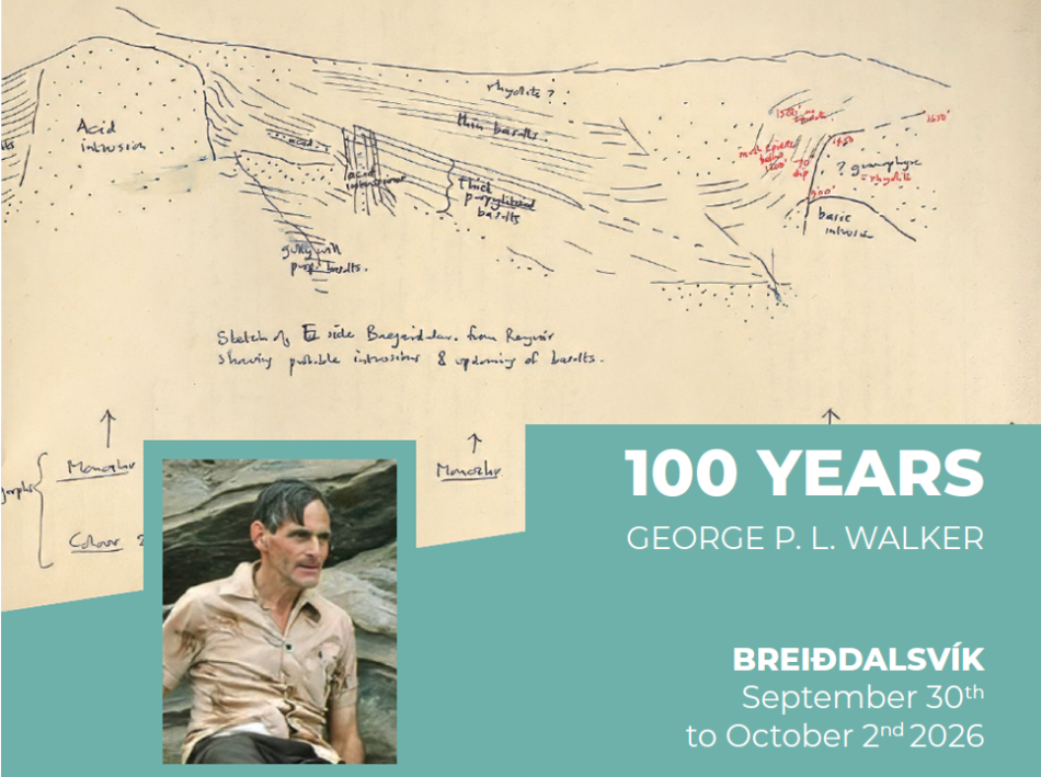
We have organized two one-day field trips! These field trips will cover a significant part of the area mapped and studied by George Walker and his students from the mid nineteen fities to the late nineteen sixties.
A pre-conference field trip will take us through the Northern fjords of Eastern Iceland, i.e. Eskifjörður, Reyðarfjörður, Fáskrúðsfjörður and Stöðvarfjörður.
Day 1 (30 Sept). Geology of the North Fjords: The subaerial succession: the silicic volcanism of the central volcanos versus the plateau basalt lava sequence between Egilsstaðir and Breiðdalur.
Leaders:
Birgir Vilhelm Óskarsson1, María Helga Guðmundsdóttir1,3, Robert Alexander Askew1,2, Catherine Rachael Gallagher 2
1Natural Science Institute of Iceland, Akranes & Garðabær, Iceland,
2University of Iceland, Reykjavík, Iceland,
3University of Iceland Research Centre in Breiðdalsvík.
Logistics:
Bus will start at Hotel Breiðdalsvík at 8:00.
All conference attendees that have already arrived in Breiðdalsvík will get on the bus there. It will leave for Egilsstaðir (~1hr 15 min drive), where the attendees arriving with the morning flight from Reykjavík will be picked up, marking the onset of the field trip.
The field trip involves a drive from Egilsstaðir to Breiðdalsvík through the Eastfjords, passing through Reyðarfjörður, Eskifjörður, Fáskrúðsfjörður, Stöðvarfjörður, and (if time allows) Breiðdalur. Along the route, participants will be introduced to the regional geology and volcanic stratigraphy of eastern Iceland.
We will arrive in Breiðdalsvík around 17:00, well in time for the Icebreaker at 18:00.
Proposed stops
1. Helgustaðanáma ~5-10 min walk
Examine the world-famous Iceland spar occurrence and discuss its geological, historical, and scientific significance.
2. Roadcut by Mjóeyri roadside
Investigate an outcrop of rhyolite lava and discuss the silicic volcanism of the Reyðarfjörður central volcano.
3. Parking lot overlooking Hólmanes roadside
Observe several formations of note:
a. The Borgir dolerite plug-like intrusions,
b. Hólmar olivine basalt group,
c. Grjótá olivine basalt group,
d. Reyðarfjörður or Hólmatindur tuff and/or unnamed porphyritic group below Reyðarfjörður tuff.
4. Stop in Reyðarfjörður town
For lunch and facilities, we can also view the plateau basalt succession on the south side of the fjord (i.e. from Mt. Skessa to Mt. Eyrarfjall), which includes the “Skessa tuff”.
5. The Sandfell cryptodome roadside (or ~30min hike)
Here we can observe (weather permitting) the rhyolitic formation and discuss its emplacement into the shallow crust. Further discussion here in Fáskrúðsfjörður and looking northwards over the Reyðarfjörður central volcano.
6. Southern Breiðdalur roadside
If time allows, we will drive into Breiðdalur and stop where we can view the volcano’s core complex (caldera fill) and its eastern outer flanks.
7. Skriðuá ~10-15 min walk
Exposure of the Grænavatn porphyritic group, basal sequence of Breiðdalur central volcano. Here we can also observe a soil profile displaying the Askja 1875 tephra, Veiðivötn 1477 tephra, and 1362 Öræfajökull eruption tephra.
We will have the option to stop at Petra’s stone collection in Stöðvarfjörður (museum and toilets). Toilet facilities are limited, though can be found in towns – discuss with leaders if required.
A post-conference field trip to the southern fjords of Eastern Iceland will include Breiðdalur, Berufjörður, Djúpivogur and Lón.
Day 3 (2 Oct). The intrusion geology of the South Fjords: The magma chambers, sills, and dykes of the region from Lón to Breiðdalsvík
Robert Alexander Askew1,2, Catherine Rachael Gallagher 2, Birgir Vilhelm Óskarsson1, and María Helga Guðmundsdóttir1,3
1Natural Science Institute of Iceland, Akranes & Garðabær, Iceland,
2University of Iceland, Reykjavík, Iceland,
3University of Iceland Research Centre in Breiðdalsvík.
Logistics:
Field trip will start at Hotel Breiðdalsvík at 8:30.
Depending on the weather forecast the field trip will either (1) take the first stop close to Breiðdalsvík and then work its way down to Lón (Reyðarártindur), with a straight drive back to Breiðdalsvík or (2) start with a straight drive to Lón (Reyðarártindur) and then work its way back to Breiðdalsvík.
There are infrequent bathroom stops in this part of the country; we will stop at Djúpivogur town between stops, but this is worth being aware of.
The outline of stops below assumes approach 2 (Reverse order of stops for approach 1).
Breiðdalsvík to Reyðarártindur drive: ~1hr 30min
Proposed stops:
1. Reyðarártindur pluton roadside viewpoint
Examine the geometry and extent of the plutonic complex.
2. Eystrahorn intrusion <5 min walk
Investigate magma mixing processes within the gabbroic intrusion and associated mixing complex (“net-veined complex”).
3. Hamarsfjörður fault roadside
Observe fault architecture and discuss the role of tectonics in eastern Iceland.
4. Djúpivogur / Teigarhorn 0 – 5 min walk
Lunch and facilities stop. Optional discussion of local geology and mineral occurrences.
5. Fossárfell and Breiðdalur unconformity roadside viewpoint
Examine the blind intrusion exposed in Fossárfell and the unconformable relationship of lavas overlying the Breiðdalur central volcano.
6. Blábjörg (Titlingshagi Ignimbrite) 2 min walk
Observe textures and field characteristics of a welded ignimbrite.
7. Streitishvarf composite dyke 10 min walk
Examine magma mixing and emplacement of a composite dyke.
8. Inclined sill above Breiðdalsvík viewpoint
Discuss inclined sill emplacement.
Locality information:
Selected locality information (currently only day 2), photographs, and references are available through the accompanying interactive field guide at:
https://jardfraedi.github.io/walker-conference-fieldtrip2/
Geological map of the east fjords:
https://kort.gis.is/mapview/?app=natt
– select Earth – Eastern Iceland – Bedrock